
The south in three days means around 30 km a day: Vizzavona – Prati via E Capannelle, Prati – Asinau via Usciolu and the Cuscionu plateau, then Asinau – Conca via Bavella and I Paliri. The terrain in the south, less technical than in the north, lends itself better to this, but the ridges are long and exposed to the wind.
This itinerary is only for trail runners trained for long distances in the mountains. At Asinau, you spend the night under canvas: there is no dormitory.
Day-by-day plan
| Day | Leg | Distance | Ascent | Descent | Walking time | Overnight |
|---|---|---|---|---|---|---|
| Vizzavona → Prati Via E Capannelle. | 32.2 km | 1,850 m | 1,000 m | 10h15 – 12h15 | Refuge de Prati | |
| Prati → Asinau Via Usciolu and the Cuscionu plateau. | 31.6 km | 1,460 m | 1,710 m | 10h30 – 12h15 | Refuge d'Asinau | |
| Asinau → Conca Via the Col de Bavella and the I Paliri hut. | 28.5 km | 690 m | 1,960 m | 8h45 – 10h15 | Conca | |
| Total | 92 km | 4,000 m | 4,670 m | |||
Distances and ascent calculated on the waymarked main route; “≈” marks a day on a variant (estimated values). Walking times according to the DIN 33466 standard, without breaks.
The itinerary on the map
one color per dayD1overnight stoprest of the GR20variants
Build your own day-by-day plan, then export it as a GPX file.
Customize this itineraryTips for this itinerary
- Leave Prati with 2 liters of water: the ridges to Usciolu are dry in summer.
- Book a rental tent or a bivouac pitch at Asinau on the Park's platform.
The stages in detail
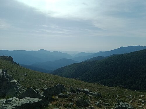 10
Vizzavona E Capannelle
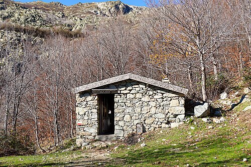 11
E Capannelle Refuge de Prati
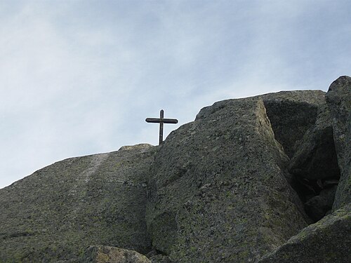 12
Refuge de Prati Refuge d'Usciolu
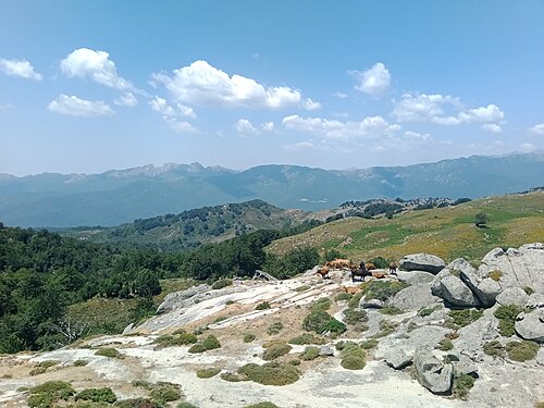 13
Refuge d'Usciolu Plateau du Cuscionu (Matalza)
 14
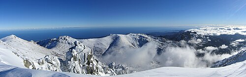
Plateau du Cuscionu (Matalza) Refuge d'Asinau
 15
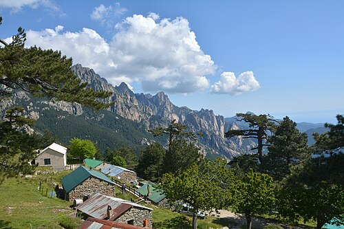
Refuge d'Asinau Refuge d'I Paliri
 16
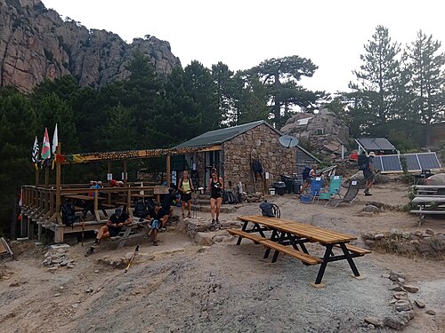
Refuge d'I Paliri Conca