
The official stages of the south, plus one: you sleep at the Col de Verde (Bocca di Verdi), at the Relais San Petru di Verde, before the short but steep climb to Prati. No day exceeds 16 km, and the ascent stays below 1,000 m.
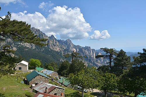
It is a good choice for a first taste of the GR20: the south is less technical than the north, and this pace leaves time to enjoy the Cuscionu pozzines and the Bavella needles.
Day-by-day plan
| Day | Leg | Distance | Ascent | Descent | Walking time | Overnight |
|---|---|---|---|---|---|---|
| Vizzavona → E Capannelle | 14.5 km | 950 m | 310 m | 4h45 – 5h30 | Capannelle | |
| E Capannelle → Col de Verde | 12.9 km | 340 m | 650 m | 3h45 – 4h30 | Col de Verde | |
| Col de Verde → Prati A short climb: free morning at the Col de Verde. | 4.8 km | 570 m | 30 m | 2h15 – 2h30 | Refuge de Prati | |
| Prati → Usciolu | 10.9 km | 620 m | 670 m | 4h – 4h45 | Refuge d'Usciolu | |
| Usciolu → Plateau du Cuscionu | 10.9 km | 240 m | 590 m | 3h15 – 3h45 | Matalza and Bergeries de Basseta | |
| Plateau du Cuscionu → Asinau | 9.9 km | 600 m | 450 m | 3h30 – 4h15 | Refuge d'Asinau | |
| Asinau → I Paliri | 15.3 km | 420 m | 930 m | 4h45 – 5h30 | Refuge d'I Paliri | |
| I Paliri → Conca | 13.2 km | 270 m | 1,040 m | 4h – 4h45 | Conca | |
| Total | 92 km | 4,010 m | 4,670 m | |||
Distances and ascent calculated on the waymarked main route; “≈” marks a day on a variant (estimated values). Walking times according to the DIN 33466 standard, without breaks.
The itinerary on the map
one color per dayD1overnight stoprest of the GR20variants
Build your own day-by-day plan, then export it as a GPX file.
Customize this itineraryTips for this itinerary
- The Relais San Petru di Verde is booked directly (dormitory, chalets, bivouac).
- The Prati – Usciolu stage is short of water in July and August: set off with 2 liters.
The stages in detail
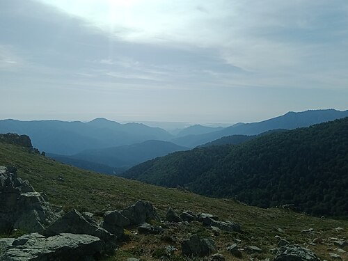 10
Vizzavona E Capannelle
750 m1,000 m1,250 m1,500 m1,750 m0 km5 km10 km
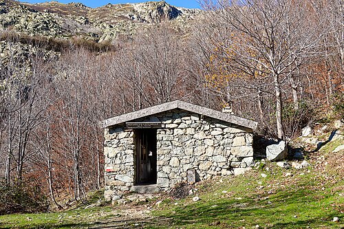 11
E Capannelle Refuge de Prati
1,000 m1,250 m1,500 m1,750 m2,000 m0 km5 km10 km15 km
 12
Refuge de Prati Refuge d'Usciolu
1,400 m1,500 m1,600 m1,700 m1,800 m1,900 m2,000 m2,100 m0 km5 km10 km
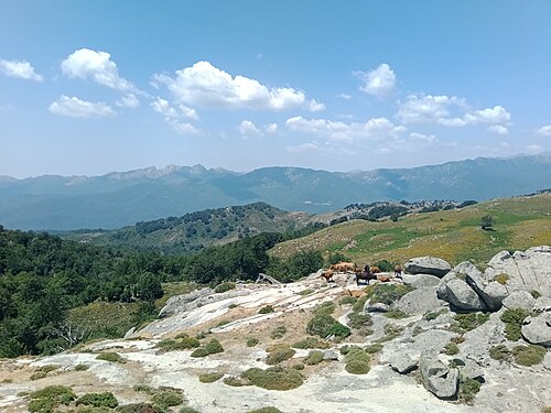 13
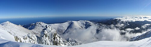
Refuge d'Usciolu Plateau du Cuscionu (Matalza)
1,250 m1,500 m1,750 m2,000 m0 km5 km10 km
 14
Plateau du Cuscionu (Matalza) Refuge d'Asinau
1,250 m1,500 m1,750 m2,000 m2,250 m0 km2 km4 km6 km8 km
 15
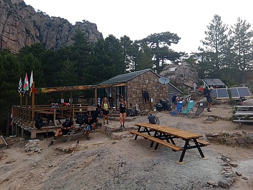
Refuge d'Asinau Refuge d'I Paliri
750 m1,000 m1,250 m1,500 m1,750 m0 km5 km10 km15 km
 16
Refuge d'I Paliri Conca
0 m250 m500 m750 m1,000 m1,250 m0 km5 km10 km