1,991 m
©SurroundingsRefuge de Ciottulu di i Mori
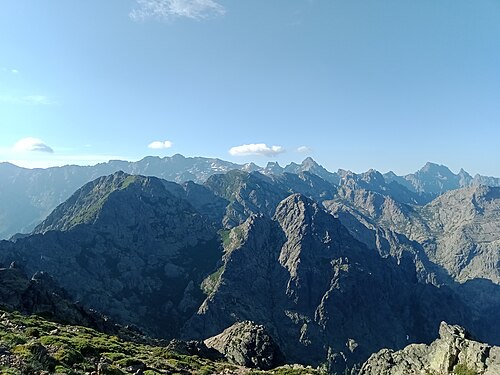
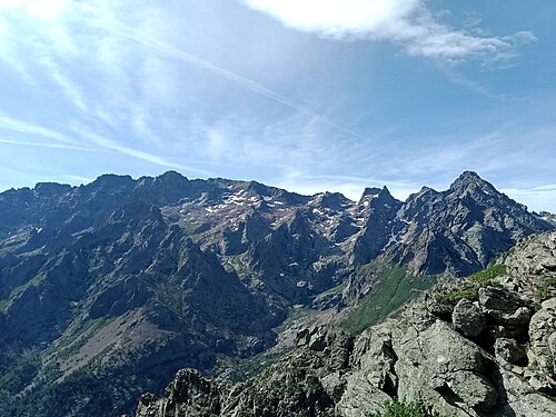
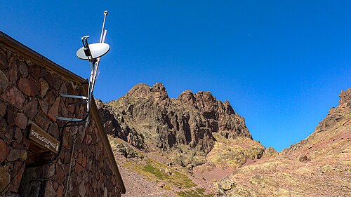
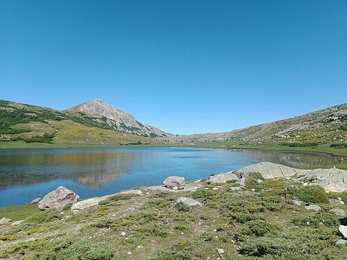
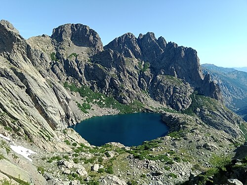
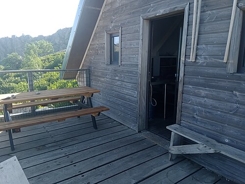
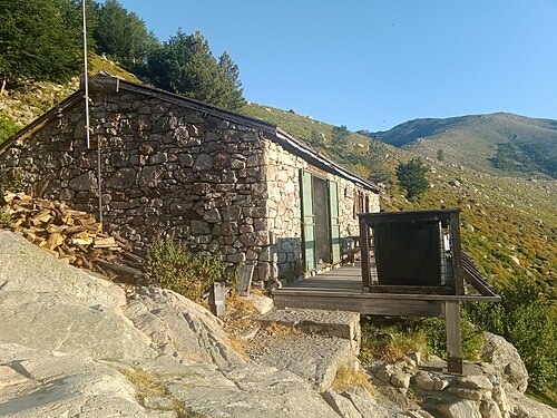
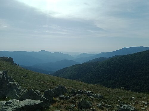
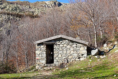
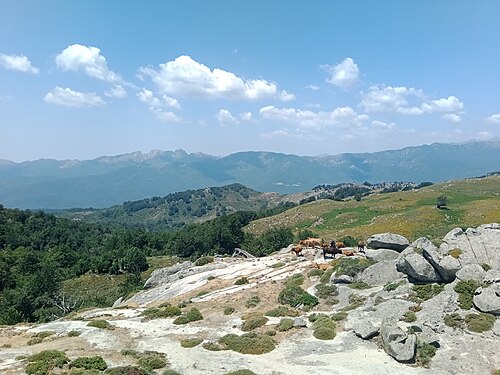
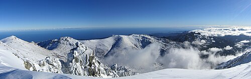
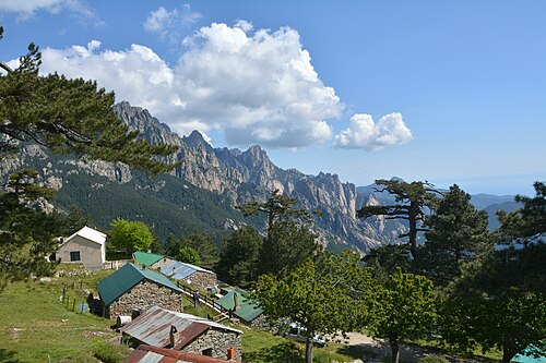
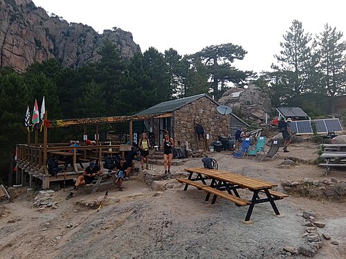
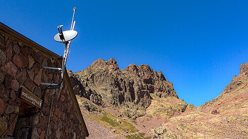
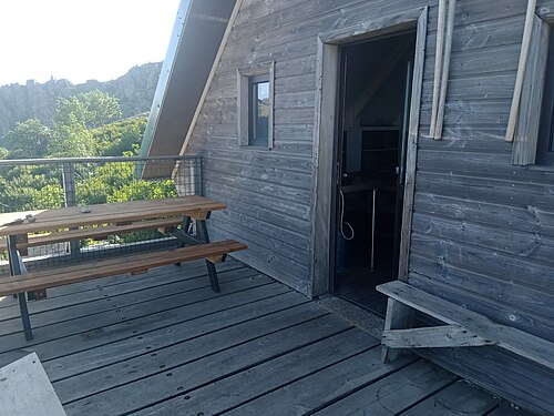
Ciottulu di i Mori (below Paglia Orba, near Bocca di Foggiale) · GR20 km 38.3
The highest hut on the GR20, perched at nearly 2,000 m under the east face of Paglia Orba, midway along the stage from…
All 72 refuges, bergeries and gîtes, the 16 official stages with elevation profiles, water points and GPX tracks, and itineraries from 3 to 18 days, in full or by halves. Checked for the 2027 season.
Stages, refuges, itineraries, budget, bookings: every piece of information is checked, dated and sourced.
Around 20,000 hikers per season. And quotas at every refuge.
Booking compulsory even for bivouacs, leave Calenzana before 11 am, massifs closed when the fire risk is high.
The GR20 is not something you improvise: plan it early — and well informed.
The rules to knowFrom Calenzana to Conca
Distances and ascent calculated on the official waymarked route and a 25 m terrain model.
1
Calenzana Refuge d'Ortu di u Piobbu
2
Refuge d'Ortu di u Piobbu Refuge de Carrozzu
3
Refuge de Carrozzu Haut-Asco
4
Haut-Asco Refuge de Tighjettu
5
Refuge de Tighjettu Refuge de Ciottulu di i Mori
6
Refuge de Ciottulu di i Mori Refuge de Manganu
7
Refuge de Manganu Refuge de Petra Piana
8
Refuge de Petra Piana Refuge de l'Onda
9
Refuge de l'Onda Vizzavona
10
Vizzavona E Capannelle
11
E Capannelle Refuge de Prati
12
Refuge de Prati Refuge d'Usciolu
13
Refuge d'Usciolu Plateau du Cuscionu (Matalza)
14
Plateau du Cuscionu (Matalza) Refuge d'Asinau
15
Refuge d'Asinau Refuge d'I Paliri
16
Refuge d'I Paliri Conca
The Corsica Regional Nature Park refuges, which must be booked on the official platform.

1,991 m
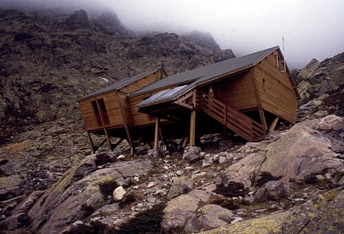
©SurroundingsCiottulu di i Mori (below Paglia Orba, near Bocca di Foggiale) · GR20 km 38.3
The highest hut on the GR20, perched at nearly 2,000 m under the east face of Paglia Orba, midway along the stage from…
1,600 m
Manganu · GR20 km 63.4
Hut built in 1978, then extended and refitted in 2001. It concludes the long sixth stage and precedes the very rocky…

1,842 m
©Petra Piana (below Monte Rotondo) · GR20 km 71.8
High-mountain hut at the foot of Monte Rotondo, reached after the Brèche de Capitellu and its views of Lac de Melu and…

1,683 m
©Tighjettu (Crucetta hollow, above the Viru) · GR20 km 32
Hut reached at the end of the most alpine stage of the northern GR20, which now goes via the Pointe des Éboulis since…
1,440 m
L'Onda · GR20 km 81.7
Small Park hut overlooking the Onda shepherds' huts (bergeries), where management and hospitality are provided by the…

1,820 m
©Prati plateau · GR20 km 123.5
Perched at 1,820 m on a grassy ledge facing the Tyrrhenian Sea, the Prati hut was completely rebuilt and reopened in…

1,750 m
©Usciolu · GR20 km 134.4
Clinging to the mountainside at 1,750 m, in the commune of Cozzano, the Usciolu hut marks the end of the fine ridge…

1,055 m
©I Paliri (foot of Punta Tafunata) · GR20 km 170.4
The last hut on the southern GR20, I Paliri is nestled at 1,055 m at the foot of Punta Tafunata, a stage of about 5…
Day-by-day plans with the distance, the ascent and where to sleep each night.
Challenging · north → south
16days
184 km · 11,260 m ascent
Challenging · north → south
15days
184 km · 11,270 m ascent
Challenging · north → south
9days
91 km · 7,260 m ascent
Intermediate · north → south
7days
92 km · 4,000 m ascent
Very challenging · north → south
12days
184 km · 11,250 m ascent
Expert · north → south
8days
184 km · 11,240 m ascent
Find a bed for every night, from Park refuges to bergeries and village gîtes.