
Compared with the 12-day itinerary, this one links Haut-Asco – Ciottulu di i Mori in a single day: the climb to the Pointe des Éboulis (2,607 m), the descent to Tighjettu, then the climb back up to Ciottulu, close to 15 km and 1,800 m of ascent in all. It is the hardest day of the itinerary.
The rest follows the fast hikers' pace: Manganu – Onda, Onda – E Capannelle via Vizzavona, then Usciolu – Asinau in one go. You need to be very fit and carry a light pack.
Day-by-day plan
| Day | Leg | Distance | Ascent | Descent | Walking time | Overnight |
|---|---|---|---|---|---|---|
| Calenzana → Ortu di u Piobbu | 11.4 km | 1,420 m | 170 m | 5h30 – 6h30 | Refuge d'Ortu di u Piobbu | |
| Ortu di u Piobbu → Haut-Asco Lunch stop at the Carrozzu hut. | 12.2 km | 1,400 m | 1,500 m | 7h45 – 9h15 | Haut-Asco | |
| Haut-Asco → Ciottulu di i Mori Via the Pointe des Éboulis and the Tighjettu hut. | 14.7 km | 1,800 m | 1,240 m | 8h45 – 10h15 | Ciottulu di i Mori | |
| Ciottulu di i Mori → Manganu | 25.1 km | 710 m | 1,120 m | 7h15 – 8h30 | Refuge de Manganu | |
| Manganu → L'Onda Lunch stop at the Petra Piana hut. | 18.3 km | 1,290 m | 1,440 m | 8h – 9h30 | Refuge de l'Onda | |
| L'Onda → E Capannelle Resupply in Vizzavona in the middle of the day. | 24 km | 1,570 m | 1,410 m | 9h30 – 11h | Capannelle | |
| E Capannelle → Prati | 17.7 km | 900 m | 690 m | 5h30 – 6h30 | Refuge de Prati | |
| Prati → Usciolu | 10.9 km | 620 m | 670 m | 4h – 4h45 | Refuge d'Usciolu | |
| Usciolu → Asinau | 20.7 km | 850 m | 1,040 m | 6h30 – 7h45 | Refuge d'Asinau | |
| Asinau → I Paliri | 15.3 km | 420 m | 930 m | 4h45 – 5h30 | Refuge d'I Paliri | |
| I Paliri → Conca | 13.2 km | 270 m | 1,040 m | 4h – 4h45 | Conca | |
| Total | 184 km | 11,250 m | 11,250 m | |||
Distances and ascent calculated on the waymarked main route; “≈” marks a day on a variant (estimated values). Walking times according to the DIN 33466 standard, without breaks.
The itinerary on the map
one colour per dayD1overnight stopvariants
Build your own day-by-day plan, then export it as a GPX file.
Customise this itineraryTips for this itinerary
- Leave Haut-Asco at dawn: snowfields are possible early in the season, and afternoon thunderstorms are common on the Pointe des Éboulis.
- Before you go, test your fitness on several consecutive days of 1,200 m of ascent.
The stages in detail
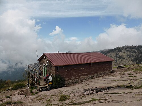 1
Calenzana Refuge d'Ortu di u Piobbu
0 m250 m500 m750 m1,000 m1,250 m1,500 m1,750 m0 km5 km10 km
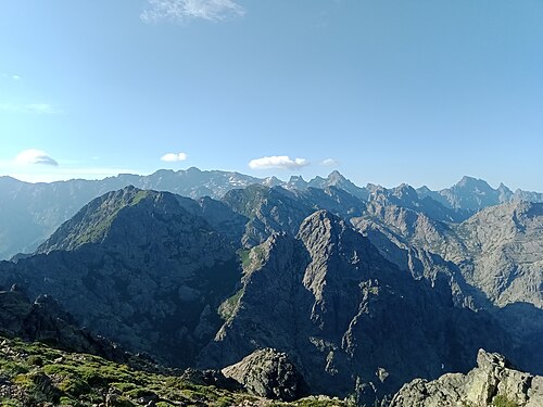 2
Refuge d'Ortu di u Piobbu Refuge de Carrozzu
1,000 m1,250 m1,500 m1,750 m2,000 m2,250 m0 km2 km4 km6 km
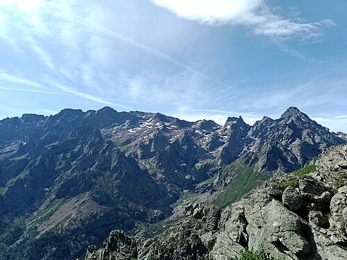 3
Refuge de Carrozzu Haut-Asco
1,000 m1,250 m1,500 m1,750 m2,000 m2,250 m0 km1 km2 km3 km4 km5 km
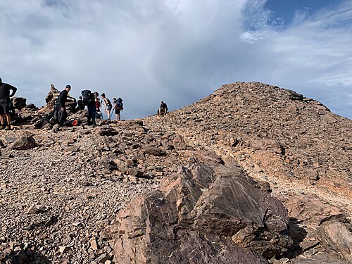 4
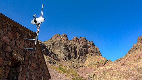
Haut-Asco Refuge de Tighjettu
1,250 m1,500 m1,750 m2,000 m2,250 m2,500 m2,750 m0 km2 km4 km6 km8 km
 5
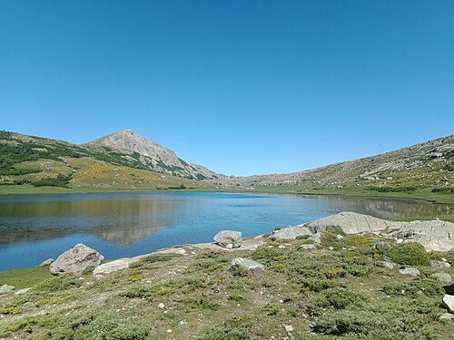
Refuge de Tighjettu Refuge de Ciottulu di i Mori
1,250 m1,500 m1,750 m2,000 m2,250 m0 km2 km4 km6 km
 6
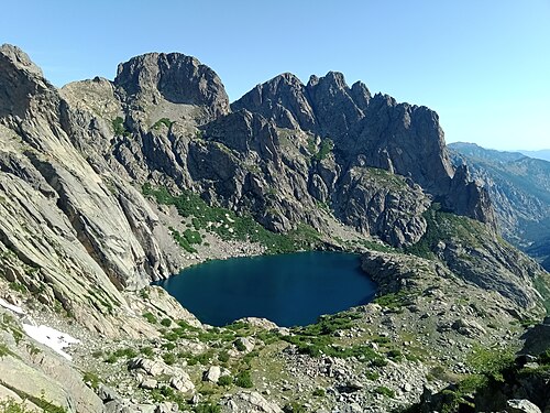
Refuge de Ciottulu di i Mori Refuge de Manganu
1,250 m1,500 m1,750 m2,000 m2,250 m0 km10 km20 km
 7
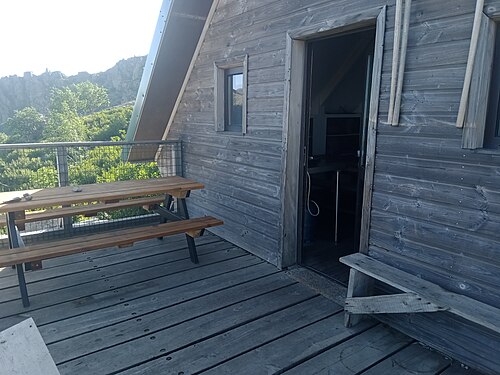
Refuge de Manganu Refuge de Petra Piana
1,500 m1,750 m2,000 m2,250 m0 km2 km4 km6 km8 km
 8
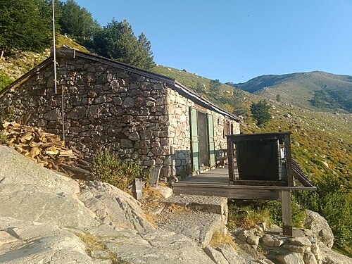
Refuge de Petra Piana Refuge de l'Onda
750 m1,000 m1,250 m1,500 m1,750 m2,000 m0 km2 km4 km6 km8 km
 9
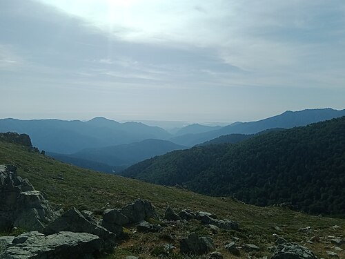
Refuge de l'Onda Vizzavona
750 m1,000 m1,250 m1,500 m1,750 m2,000 m2,250 m0 km2 km4 km6 km8 km
 10
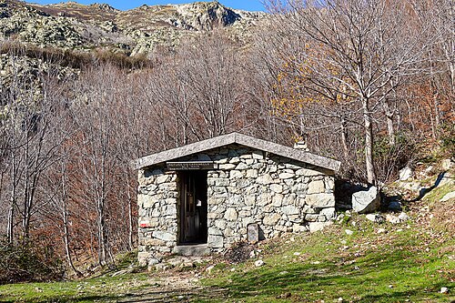
Vizzavona E Capannelle
750 m1,000 m1,250 m1,500 m1,750 m0 km5 km10 km
 11
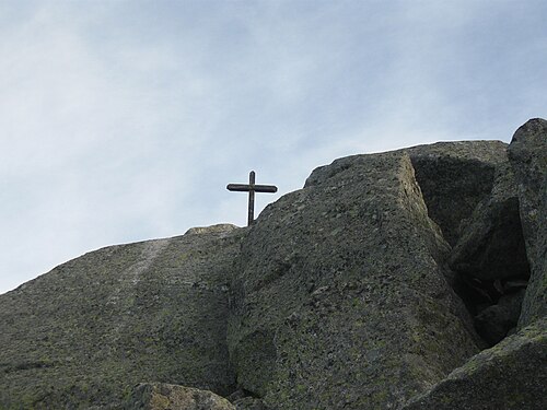
E Capannelle Refuge de Prati
1,000 m1,250 m1,500 m1,750 m2,000 m0 km5 km10 km15 km
 12
Refuge de Prati Refuge d'Usciolu
1,400 m1,500 m1,600 m1,700 m1,800 m1,900 m2,000 m2,100 m0 km5 km10 km
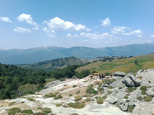 13
Refuge d'Usciolu Plateau du Cuscionu (Matalza)
1,250 m1,500 m1,750 m2,000 m0 km5 km10 km
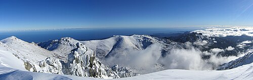 14
Plateau du Cuscionu (Matalza) Refuge d'Asinau
1,250 m1,500 m1,750 m2,000 m2,250 m0 km2 km4 km6 km8 km
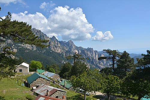 15
Refuge d'Asinau Refuge d'I Paliri
750 m1,000 m1,250 m1,500 m1,750 m0 km5 km10 km15 km
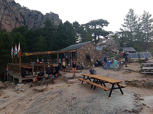 16
Refuge d'I Paliri Conca
0 m250 m500 m750 m1,000 m1,250 m0 km5 km10 km
Other itineraries
- The GR20 in 18 days at a relaxed pace18 days · Intermediate
- The GR20 in 16 days (official stages)16 days · Challenging
- The GR20 from south to north16 days · Challenging
- The classic GR20 in 15 days15 days · Challenging
- The GR20 in 14 days14 days · Challenging
- The GR20 in 13 days13 days · Very challenging
- The GR20 in 12 days12 days · Very challenging
- The GR20 in 10 days10 days · Very challenging
- The GR20 in 9 days9 days · Expert
- The GR20 in 8 days8 days · Expert
- The GR20 in 7 days7 days · Expert