
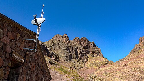
Campsite
1,991 m
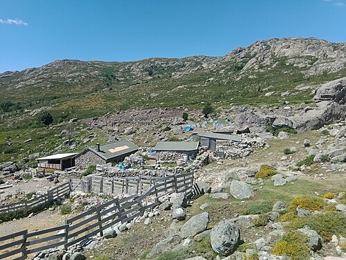
©SurroundingsAire de bivouac de Ciottulu di i Mori
Ciottulu di i Mori · GR20 km 38.3
High-altitude bivouac area, at nearly 2,000 m, next to the hut: bring a warm sleeping bag. It shares the new toilets…
Stage 6 of 16 · GR20 North
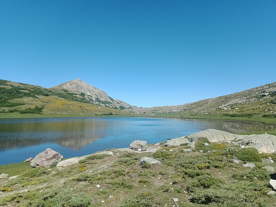
The longest stage: the Golo valley, the Vergio forest, then Lac de Nino and its pozzines all the way to Manganu.
| Waypoint | Altitude | Km |
|---|---|---|
| Refuge de Ciottulu di i Mori | 1,991 m | 0 km |
| Bergerie de Radule | 1,375 m | 5.4 km |
| Castel di Vergio | 1,404 m | 8.5 km |
| Bocca a Reta | 1,883 m | 16.8 km |
| Lac de Nino | 1,743 m | 18.3 km |
| Bergeries de Vaccaghja | 1,595 m | 23 km |
| Refuge de Manganu | 1,601 m | 25.1 km |
You first descend into the upper Golo valley, dotted with rock pools perfect for soaking your feet, as far as the Bergerie de Radule. The trail then reaches the Castel di Vergio resort, beside the pass road: a hotel, gîte, showers and supplies make it possible to split this long stage in two.
The second half crosses the Laricio pine forest, then climbs to the Bocca a Reta before dropping down to Lac de Nino, one of the most beautiful spots on the island, surrounded by pozzines (high-altitude wet meadows) where horses and cows graze. You then follow the plateau to the Vaccaghja bergeries and the Manganu hut.
The lake area is protected: trekking poles are banned around the lake and on the pozzines, and swimming is prohibited. Stay on the waymarked trail.
7 water points listed on this stage. Springs can run dry in late summer: ask the hut wardens and treat the water if in doubt.
| Km | Point | Type | Altitude |
|---|---|---|---|
| 2 km | Source de Balanina | Water point | 1,710 m |
| 8.8 km | Source de Castellaccio | Water point | 1,347 m |
| 12.1 km | Source de Mezzanotte | Water point | 1,340 m |
| 17.8 km | Fontaine du Nino | Water point | 1,777 m |
| 18.3 km | Source de Ninu | Water point | 1,758 m |
| 20.1 km | Sources de l'Inzecche | Water point | 1,770 m |
| 23 km | Source de Vaccaghia | Water point | 1,600 m |
Source: refuges.info (CC BY-SA), points less than 250 m from the trail.
Accommodation along the stage, at the finish or on its variants, in walking order.
1,991 m
©SurroundingsCiottulu di i Mori · GR20 km 38.3
High-altitude bivouac area, at nearly 2,000 m, next to the hut: bring a warm sleeping bag. It shares the new toilets…
1,991 m
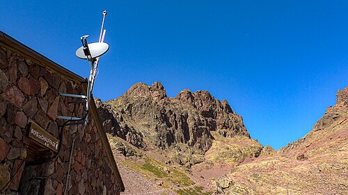
©SurroundingsCiottulu di i Mori (below Paglia Orba, near Bocca di Foggiale) · GR20 km 38.3
The highest hut on the GR20, perched at nearly 2,000 m under the east face of Paglia Orba, midway along the stage from…
1,403 m
Castel di Vergio, Col de Vergio (D84) · GR20 km 46.7
Two-star hotel on the road over the Col de Vergio, one of the few points on the GR20 served by road (D84). It splits…
1,402 m
Castel di Vergio, Col de Vergio · GR20 km 46.9
Unclassified campsite stretching out in front of the Castel di Vergio hut, on flat, grassy ground far more comfortable…
1,402 m
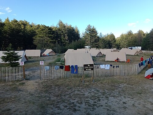
©Castel di Vergio, Col de Vergio · GR20 km 46.9
Private 70-place hut run by the neighbouring hotel, very popular with hikers on the GR20 and the northern Mare a Mare…
1,761 m
Bergeries de l'Inzecche, about twenty minutes from Lac de Nino · GR20 km 58.4
High-altitude shepherds' hut (bergerie) run as a farm-inn near Lac de Nino, on the long stage between the Col de…
1,595 m
©Vaccaghja, Campotile plateau (between Lac de Nino and Manganu) · GR20 km 61.3
Working shepherds' hut (bergerie) beside the GR20, between Lac de Nino and the Manganu hut. With no dormitory, it…
1,600 m
Manganu · GR20 km 63.4
Grassy bivouac area set up near the Manganu hut, on a pleasant ledge beside the stream. Bivouacking is only permitted…
1,600 m
Manganu · GR20 km 63.4
Hut built in 1978, then extended and refitted in 2001. It concludes the long sixth stage and precedes the very rocky…