
Seven days for the northern half, combining two pairs of stages: Ortu di u Piobbu – Haut-Asco via Carrozzu, and Petra Piana – Vizzavona via the Onda hut. The night at Castel di Vergio splits the long Golo stage. Days average 13 km with 1,000 m of ascent.
It is a common format for a one-week holiday: fly into Calvi and spend the night before in Calenzana, then head home by train from Vizzavona.
Day-by-day plan
| Day | Leg | Distance | Ascent | Descent | Walking time | Overnight |
|---|---|---|---|---|---|---|
| Calenzana → Ortu di u Piobbu | 11.4 km | 1,420 m | 170 m | 5h30 – 6h30 | Refuge d'Ortu di u Piobbu | |
| Ortu di u Piobbu → Haut-Asco Lunch stop at the Carrozzu hut. | 12.2 km | 1,400 m | 1,500 m | 7h45 – 9h15 | Haut-Asco | |
| Haut-Asco → Tighjettu | 8.4 km | 1,150 m | 920 m | 5h45 – 6h45 | Tighjettu and Bergeries de Ballone | |
| Tighjettu → Castel di Vergio Via the Ciottulu di i Mori hut. | 14.9 km | 720 m | 980 m | 5h15 – 6h15 | Castel di Vergio | |
| Castel di Vergio → Manganu | 16.5 km | 640 m | 460 m | 4h45 – 5h45 | Refuge de Manganu | |
| Manganu → Petra Piana | 8.4 km | 810 m | 540 m | 4h – 4h45 | Refuge de Petra Piana | |
| Petra Piana → Vizzavona You pass the Onda hut around midday. | 19.5 km | 1,110 m | 2,000 m | 8h30 – 10h15 | Vizzavona | |
| Total | 91 km | 7,250 m | 6,570 m | |||
Distances and ascent calculated on the waymarked main route; “≈” marks a day on a variant (estimated values). Walking times according to the DIN 33466 standard, without breaks.
The itinerary on the map
one color per dayD1overnight stoprest of the GR20variants
Build your own day-by-day plan, then export it as a GPX file.
Customize this itineraryTips for this itinerary
- Spend the night before in Calenzana so you can set off early.
- The final descent to Vizzavona drops 2,000 m: poles are recommended.
The stages in detail
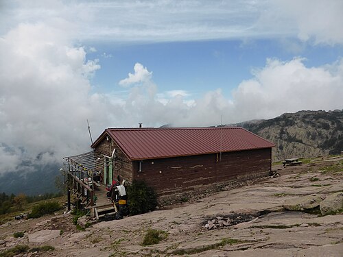 1
Calenzana Refuge d'Ortu di u Piobbu
0 m250 m500 m750 m1,000 m1,250 m1,500 m1,750 m0 km5 km10 km
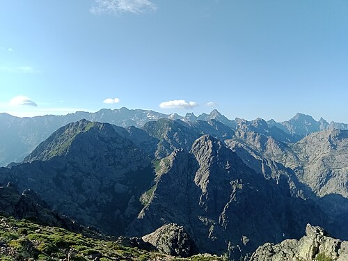 2
Refuge d'Ortu di u Piobbu Refuge de Carrozzu
1,000 m1,250 m1,500 m1,750 m2,000 m2,250 m0 km2 km4 km6 km
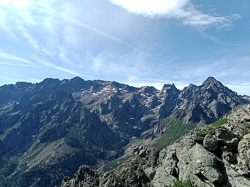 3
Refuge de Carrozzu Haut-Asco
1,000 m1,250 m1,500 m1,750 m2,000 m2,250 m0 km1 km2 km3 km4 km5 km
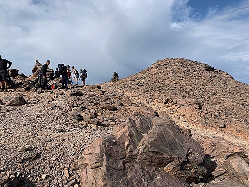 4
Haut-Asco Refuge de Tighjettu
1,250 m1,500 m1,750 m2,000 m2,250 m2,500 m2,750 m0 km2 km4 km6 km8 km
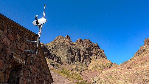 5
Refuge de Tighjettu Refuge de Ciottulu di i Mori
1,250 m1,500 m1,750 m2,000 m2,250 m0 km2 km4 km6 km
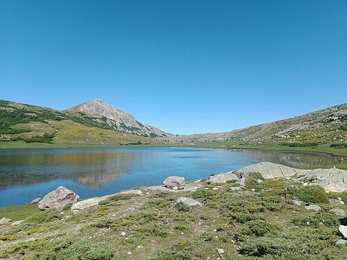 6
Refuge de Ciottulu di i Mori Refuge de Manganu
1,250 m1,500 m1,750 m2,000 m2,250 m0 km10 km20 km
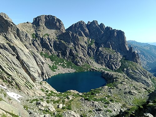 7
Refuge de Manganu Refuge de Petra Piana
1,500 m1,750 m2,000 m2,250 m0 km2 km4 km6 km8 km
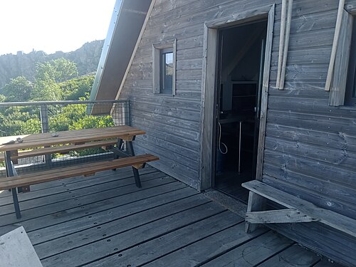 8
Refuge de Petra Piana Refuge de l'Onda
750 m1,000 m1,250 m1,500 m1,750 m2,000 m0 km2 km4 km6 km8 km
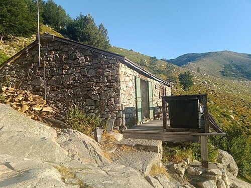 9
Refuge de l'Onda Vizzavona
750 m1,000 m1,250 m1,500 m1,750 m2,000 m2,250 m0 km2 km4 km6 km8 km