
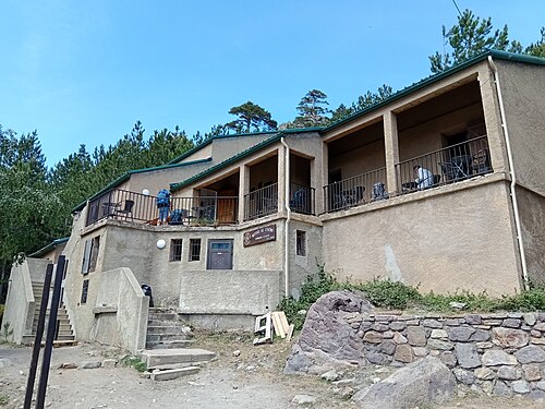
Campground
1,422 m
©Aire de bivouac d'Ascu Stagnu
Haut-Asco · GR20 km 23.6
Bivouac area set up in the pine forest around the PNRC hut at Haut-Asco, with a summer kitchen and a fountain…
Stage 4 of 16 · GR20 North
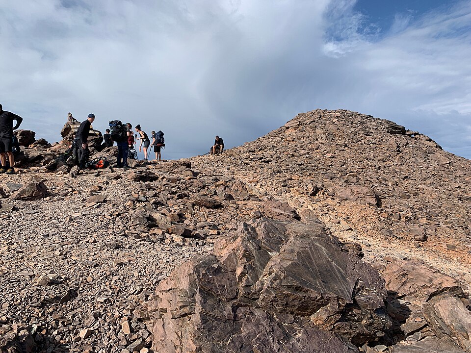
The queen stage: 1,200 m of climbing to the Pointe des Éboulis, the highest point of the GR20, on the route that replaces the Cirque de la Solitude.
| Waypoint | Altitude | Km |
|---|---|---|
| Haut-Asco | 1,422 m | 0 km |
| Chaînes du cirque de Tribulacciu | 1,690 m | 2.3 km |
| Pointe des Éboulis | 2,607 m | 5 km |
| Bocca Crucetta | 2,450 m | 5.8 km |
| Refuge de Tighjettu | 1,683 m | 8.3 km |
Since the tragedy of June 2015, when a landslide killed seven hikers, the Cirque de la Solitude has no longer been part of the GR20. The replacement route has become the official route: longer and higher, but less technical. All about the Cirque de la Solitude.
After three-quarters of an hour on the flat along the stream, the trail crosses a footbridge and then climbs about 1,200 m over slabs, with two or three chain-equipped sections and long scree slopes. You reach the Pointe des Éboulis (2,607 m), the highest point of the route, from where you can see the Bay of Calvi and, on very clear days, the Alps.
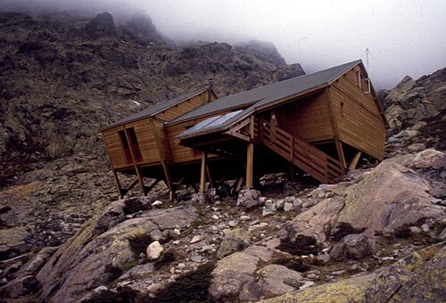
A long ridge traverse over boulder fields leads to the Bocca Crucetta, above Lac du Cintu, then the descent reaches the Tighjettu hut, clinging to a rocky spur. The PNRC describes the stage as “very demanding, physically and mentally”: allow about 8 hours.
From the Pointe des Éboulis, a return trip of about 1 hr 30 min to 2 hours off the GR lets you climb Monte Cinto (2,706 m), the highest summit in Corsica. See the Monte Cinto ascent.
2 water points listed on this stage and 3 tricky sections (chains, ladders, exposed steps). Springs can run dry in late summer: ask the hut wardens and treat the water if in doubt.
| Km | Point | Type | Altitude |
|---|---|---|---|
| 0.8 km | Source du Haut Asco | Water point | 1,420 m |
| 2.3 km | Chaînes du cirque de Tribulacciu | Tricky section | 1,690 m |
| 4.7 km | Passage de la pointe des Éboulis | Tricky section | 2,450 m |
| 5.9 km | Bocca Crucetta | Tricky section | 2,450 m |
| 6.6 km | Source de Bocca Crucetta | Water point | 2,217 m |
Source: refuges.info (CC BY-SA), points less than 250 m from the trail.
Accommodation along the stage, at the finish or on its variants, in walking order.
1,422 m
©Haut-Asco · GR20 km 23.6
Bivouac area set up in the pine forest around the PNRC hut at Haut-Asco, with a summer kitchen and a fountain…
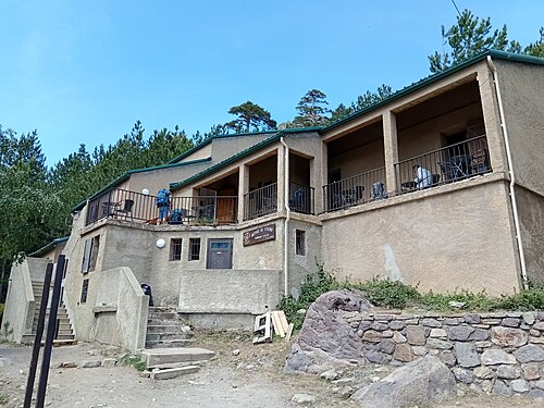
1,422 m
©Haut-Asco, Ascu Stagnu resort · GR20 km 23.6
Park hut in the small ski resort of Haut-Asco, at the end of the road that climbs the Asco valley. It is one of the…
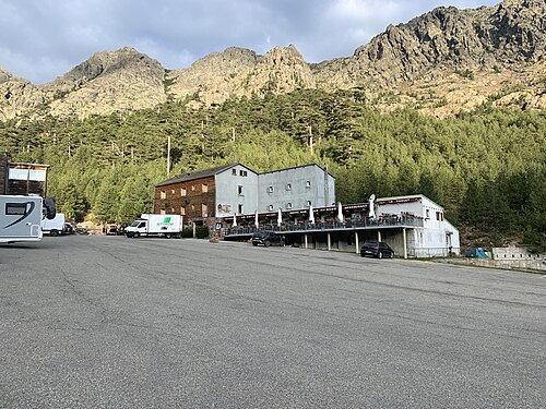
1,420 m
©Haut-Asco, ground floor of the Hôtel Le Chalet · GR20 km 23.7
Dormitory on the ground floor of the Hôtel Le Chalet, designed from the outset for GR20 walkers finishing their third…
1,420 m
Haut-Asco, Ascu Stagnu resort · GR20 km 23.7
Hotel opened in 1964 at the foot of Monte Cinto, a few meters from the PNRC hut at Haut-Asco. It offers a real break…
1,683 m
Tighjettu · GR20 km 32
The pitches are laid out around the Tighjettu hut. Campers have a summer kitchen under the building and toilets…
1,683 m
©Tighjettu (Crucetta hollow, above the Viru) · GR20 km 32
Hut reached at the end of the most alpine stage of the northern GR20, which now goes via the Pointe des Éboulis since…