
The official stages of the north, with an extra night at Castel di Vergio: the longest stage of the route, Ciottulu di i Mori – Manganu (25 km), becomes a half-day descending the Golo valley, followed by a fine day via Lac de Nino. No day exceeds 17 km.
It is the ideal itinerary for discovering the most alpine part of the GR20 while saving energy for the technical sections, notably the Pointe des Éboulis between Haut-Asco and Tighjettu.
Day-by-day plan
| Day | Leg | Distance | Ascent | Descent | Walking time | Overnight |
|---|---|---|---|---|---|---|
| Calenzana → Ortu di u Piobbu | 11.4 km | 1,420 m | 170 m | 5h30 – 6h30 | Refuge d'Ortu di u Piobbu | |
| Ortu di u Piobbu → Carrozzu | 7.3 km | 650 m | 930 m | 4h15 – 5h | Refuge de Carrozzu | |
| Carrozzu → Haut-Asco | 4.9 km | 760 m | 570 m | 3h45 – 4h15 | Haut-Asco | |
| Haut-Asco → Tighjettu | 8.4 km | 1,150 m | 920 m | 5h45 – 6h45 | Tighjettu and Bergeries de Ballone | |
| Tighjettu → Ciottulu di i Mori | 6.3 km | 650 m | 330 m | 3h – 3h30 | Ciottulu di i Mori | |
| Ciottulu di i Mori → Castel di Vergio Half a day descending the Golo valley. | 8.6 km | 70 m | 650 m | 2h30 – 3h | Castel di Vergio | |
| Castel di Vergio → Manganu | 16.5 km | 640 m | 460 m | 4h45 – 5h45 | Refuge de Manganu | |
| Manganu → Petra Piana | 8.4 km | 810 m | 540 m | 4h – 4h45 | Refuge de Petra Piana | |
| Petra Piana → L'Onda | 10 km | 490 m | 900 m | 4h – 4h45 | Refuge de l'Onda | |
| L'Onda → Vizzavona | 9.5 km | 620 m | 1,100 m | 4h45 – 5h30 | Vizzavona | |
| Total | 91 km | 7,260 m | 6,570 m | |||
Distances and ascent calculated on the waymarked main route; “≈” marks a day on a variant (estimated values). Walking times according to the DIN 33466 standard, without breaks.
The itinerary on the map
one colour per dayD1overnight stoprest of the GR20variants
Build your own day-by-day plan, then export it as a GPX file.
Customise this itineraryTips for this itinerary
- Castel di Vergio is booked directly: a chance for a hot shower and a proper meal.
- Head home from Vizzavona by train, towards Ajaccio or Bastia.
The stages in detail
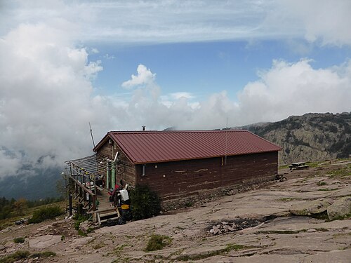 1
Calenzana Refuge d'Ortu di u Piobbu
0 m250 m500 m750 m1,000 m1,250 m1,500 m1,750 m0 km5 km10 km
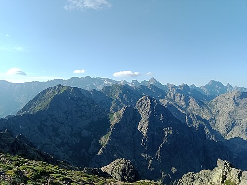 2
Refuge d'Ortu di u Piobbu Refuge de Carrozzu
1,000 m1,250 m1,500 m1,750 m2,000 m2,250 m0 km2 km4 km6 km
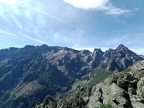 3
Refuge de Carrozzu Haut-Asco
1,000 m1,250 m1,500 m1,750 m2,000 m2,250 m0 km1 km2 km3 km4 km5 km
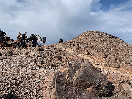 4
Haut-Asco Refuge de Tighjettu
1,250 m1,500 m1,750 m2,000 m2,250 m2,500 m2,750 m0 km2 km4 km6 km8 km
 5
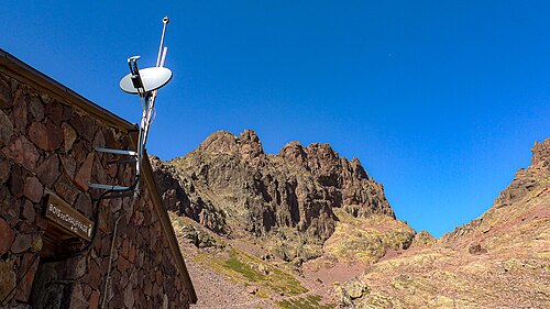
Refuge de Tighjettu Refuge de Ciottulu di i Mori
1,250 m1,500 m1,750 m2,000 m2,250 m0 km2 km4 km6 km
 6
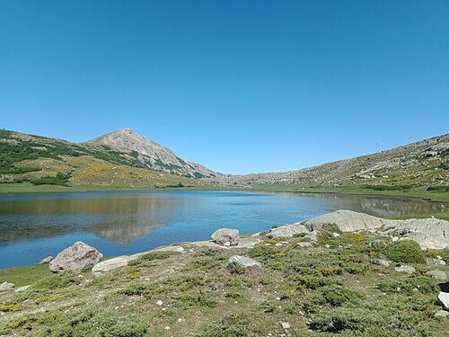
Refuge de Ciottulu di i Mori Refuge de Manganu
1,250 m1,500 m1,750 m2,000 m2,250 m0 km10 km20 km
 7
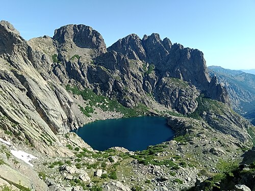
Refuge de Manganu Refuge de Petra Piana
1,500 m1,750 m2,000 m2,250 m0 km2 km4 km6 km8 km
 8
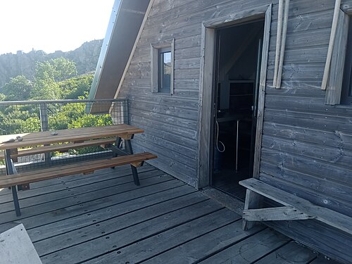
Refuge de Petra Piana Refuge de l'Onda
750 m1,000 m1,250 m1,500 m1,750 m2,000 m0 km2 km4 km6 km8 km
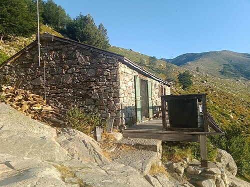 9
Refuge de l'Onda Vizzavona
750 m1,000 m1,250 m1,500 m1,750 m2,000 m2,250 m0 km2 km4 km6 km8 km